GIVE CREDIT. KEEP IT LOCAL.
Sources and photo credits
Open a section for its sources, creators and license details.

Wikimedia Commons city photographs
Each photograph has an individual creator, source and reuse license, listed here and in the footer of the city photo wall. Displayed images may be resized or cropped. Daily rotation does not imply a new capture date.
- 761 Wildwood Lane, Green Gables Historic District, Palo Alto, CA 6-3-2012 4-12-01 PM · Sanfranman59 · Wikimedia Commons · CC BY-SA 3.0 · Photographed Taken on 3 June 2012, 16:12:01
- Byxbee Park Palo Alto California (209759359) · Igor Krivokon · Wikimedia Commons · CC BY 3.0 · Photographed 27 April 2017, 23:52:04 (UTC)
- First Palo Alto United Methodist Church (2025)-L1007338 · Frank Schulenburg · Wikimedia Commons · CC BY-SA 4.0 · Photographed Taken on 15 June 2025, 12:30:25
- Cogswell Plaza · BrokenSegue · Wikimedia Commons · CC BY-SA 4.0 · Photographed 5 June 2021 (according to Exif data)
- Eleanor Pardee Park (41501) · Rhododendrites · Wikimedia Commons · CC BY-SA 4.0 · Photographed 2021-06-14 10:27:43
- Matadero Creek at Cornelis Bol Park in Barron Park, Palo Alto, California · Dicklyon · Wikimedia Commons · CC BY-SA 4.0 · Photographed 2019-09-02 10:19:16
- Well in the Secret Garden · Michal Cierniak · Wikimedia Commons · CC BY-SA 3.0 · Photographed Taken on 6 July 2008
- California Avenue train station, California, USA 2007 · Constantine Kulikovsky · Wikimedia Commons · CC BY 3.0 · Photographed 2007-07-21
- Frank Angell House, 1005 Bryant St., Palo Alto, CA 6-3-2012 2-10-48 PM · Sanfranman59 · Wikimedia Commons · CC BY-SA 3.0 · Photographed Taken on 3 June 2012, 14:10:48
- Palo Alto, CA USA (3) · MARELBU · Wikimedia Commons · CC BY 3.0 · Photographed 14 September 2013 (original upload date)
- Arastradero · Dicie Hinaga · Wikimedia Commons · CC BY 3.0 · Photographed Taken on 14 April 2012
- Baylands · dnak · Wikimedia Commons · CC BY 2.0 · Photographed 2010-07-02 17:03:49
- Cubberley · Joojay · Wikimedia Commons · CC BY-SA 4.0 · Photographed 2020-03-02 16:49:29
- Palo Alto, California (City Hall) 2004 · Nader Moussa · Wikimedia Commons · CC BY-SA 3.0
- Streets of Palo Alto 2 · Slyronit · Wikimedia Commons · CC BY-SA 4.0
- Embarcadero dock at dawn palo alto (14104342328) · Russ · Wikimedia Commons · CC BY 2.0 · Photographed 2014-05-28 10:17
- HouseArc, Palo Alto, CA-Joseph Bellomo Architects 2014-05-24 20-16 · User:Intheknow214 · Wikimedia Commons · CC BY-SA 3.0 · Photographed 2014-05-25 03:16:50
- Palo Alto Baylands February 2013 007 · King of Hearts · Wikimedia Commons · CC BY-SA 4.0 · Photographed 2013-02-26 06:59
- Palo Alto Bicycleshop (84006247) · Oliver Propst · Wikimedia Commons · CC BY-SA 3.0 · Photographed 4 September 2014, 10:46:36
- Palo Alto California · VasenkaPhotography · Wikimedia Commons · CC BY 2.0 · Photographed 2012-03-19 10:41:52


Campus photographs
Campus photographs may be resized or cropped for display.
- Stanford University campus · Oliver Propst · CC BY-SA 3.0 · Photographed 4 September 2014, 13:22:20 · Resized Wikimedia Commons thumbnail.
- Stanford University campus · Ndshankar · CC BY-SA 4.0 · Photographed 2015-07-31 · Resized Wikimedia Commons thumbnail.
- Stanford University campus · Thomson M · CC BY 3.0 · Photographed Taken on 2 July 2015 · Resized Wikimedia Commons thumbnail.
- Stanford University campus · Thomson M · CC BY 3.0 · Photographed Taken on 2 July 2015 · Resized Wikimedia Commons thumbnail.
- Stanford University campus · Suiren2022 · CC BY-SA 4.0 · Photographed 2022-05-04 13:34:57 · Resized Wikimedia Commons thumbnail.
- Stanford University campus · Suiren2022 · CC BY-SA 4.0 · Photographed 2022-05-11 11:18:08 · Resized Wikimedia Commons thumbnail.
- Bing Concert Hall · Oleg Alexandrov · CC BY-SA 3.0 · Photographed 2013-01-12 11:52:42 · Resized Wikimedia Commons thumbnail.
- Stanford University Libraries · LPS.1 · CC0 · Photographed 2013-01-13 14:37:30 · Resized Wikimedia Commons thumbnail.
- Foothill College campus · Coolcaesar · CC BY-SA 4.0 · Photographed 2020-08-01 15:13:59 · Resized Wikimedia Commons thumbnail.
- Chabot College campus · Wsiegmund · CC BY 2.5 · Photographed 2006-05-09 12:18:26 · Resized Wikimedia Commons thumbnail.
- Chabot College campus · Alfred Twu · CC0 · Photographed 2016-10-17 17:18:29 · Resized Wikimedia Commons thumbnail.
- Chabot College campus · Alfred Twu · CC0 · Photographed 2016-10-17 17:18:35 · Resized Wikimedia Commons thumbnail.
- Mission College campus · Bobak Ha'Eri · CC BY 3.0 · Photographed 2008-11-15 · Resized Wikimedia Commons thumbnail.
- Mission College campus · BrokenSphere · CC BY-SA 3.0 · Photographed 2010-01-12 · Resized Wikimedia Commons thumbnail.
- Santa Clara University campus · Omar A. · CC BY-SA 2.0 · Photographed 2008-08-27 · Resized Wikimedia Commons thumbnail.
- Santa Clara University campus · BrokenSphere · CC BY 3.0 · Photographed 2010-07-18 · Resized Wikimedia Commons thumbnail.
- Santa Clara University campus · MARELBU · CC BY 3.0 · Photographed Taken on 26 June 2013 · Resized Wikimedia Commons thumbnail.
- Santa Clara University campus · Crocodiletiger~commonswiki · CC BY-SA 4.0 · Photographed 2020-11-09 11:54:11 · Resized Wikimedia Commons thumbnail.
- Santa Clara University campus · Matthew Hendricks · CC BY 2.5 · Resized Wikimedia Commons thumbnail.
- Santa Clara University campus · BrokenSphere · CC BY-SA 3.0 · Photographed 2010-07-18 · Resized Wikimedia Commons thumbnail.
- Santa Clara University campus · BrokenSphere · CC BY 3.0 · Photographed 2010-07-18 · Resized Wikimedia Commons thumbnail.
- Santa Clara University campus · BrokenSphere · CC BY 3.0 · Photographed 2010-07-18 · Resized Wikimedia Commons thumbnail.
- Santa Clara University campus · BrokenSphere · CC BY 3.0 · Photographed 2010-07-18 · Resized Wikimedia Commons thumbnail.
- Santa Clara University campus · Davidbrianholt · CC BY-SA 3.0 · Photographed 2013-12-17 · Resized Wikimedia Commons thumbnail.
- College of San Mateo campus · Csmwebmaster · CC BY 3.0 · Photographed 2010-08-24 · Resized Wikimedia Commons thumbnail.
- College of San Mateo campus · Marc Smith · CC BY 2.0 · Photographed 2012-05-30 09:09 · Resized Wikimedia Commons thumbnail.
- San Jose City College campus · GiovanniB374 · CC BY-SA 3.0 · Resized Wikimedia Commons thumbnail.
- Notre Dame de Namur University campus · Sanfranman59 · CC BY-SA 3.0 · Photographed 2011-09-05 15:51:45 · Resized Wikimedia Commons thumbnail.
- Notre Dame de Namur University campus · Cristiano Tomás · CC BY-SA 4.0 · Photographed 2021-04-03 19:58:13 · Resized Wikimedia Commons thumbnail.
- San Francisco Bay University campus · SFBU · CC BY-SA 4.0 · Photographed 2024-03-01 · Resized Wikimedia Commons thumbnail.


Day-trip photographs
Nearby destination photographs are dated views, not current conditions. Each source, creator, license, recorded capture date and resize notice is listed below.
- Big Basin Redwoods State Park · Gnissah · CC BY-SA 3.0 · Photographed 2011-06-27 · Resized and converted to WebP; display crops may apply.
- Butano State Park · Grey3k · CC BY 3.0 · Photographed 2011-08-21 · Resized and converted to WebP; display crops may apply.
- Pigeon Point Lighthouse · Frank Schulenburg · CC BY-SA 4.0 · Photographed 2016-12-26 07:28:55 · Resized and converted to WebP; display crops may apply.
- Pacifica · Dicklyon · CC BY-SA 4.0 · Photographed 2022-05-12 11:34:27 · Resized and converted to WebP; display crops may apply.
- Año Nuevo State Park · Gmasterman · CC BY-SA 3.0 · Photographed 2006-08-01 · Resized and converted to WebP; display crops may apply.
- Alameda · Sanfranman59 · CC BY-SA 3.0 · Photographed Taken on 4 October 2008 · Resized and converted to WebP; display crops may apply.
- Livermore · LPS.1 · CC0 · Photographed 2014-12-14 15:12:27 · Resized and converted to WebP; display crops may apply.
- San Francisco Museum of Modern Art · Magnus Manske · CC BY-SA 3.0 · Photographed Taken on 27 September 2003 · Resized and converted to WebP; display crops may apply.
- Yerba Buena Island · Stepheng3 · CC0 · Photographed 2011-04-24 · Resized and converted to WebP; display crops may apply.
- M. H. de Young Memorial Museum · Mark Miller · Public domain · Photographed 2009-07-14 · Resized and converted to WebP; display crops may apply.
- San Francisco Maritime National Historical Park · Chris j wood · CC BY-SA 4.0 · Photographed Taken on 28 May 2003, 15:56 · Resized and converted to WebP; display crops may apply.
- Berkeley · User:Introvert · CC BY-SA 2.5 · Photographed Taken on 3 December 2005, 10:42 (according to Exif data) · Resized and converted to WebP; display crops may apply.
- Fort Point · Joncosner · CC BY-SA 3.0 · Photographed Taken on 21 August 2010, 14:40:14 · Resized and converted to WebP; display crops may apply.
- Santa Cruz · No machine-readable author provided. Matt314 assumed (based on copyright claims). · CC BY 2.5 · Photographed 25 July 2005 (according to Exif data) · Resized and converted to WebP; display crops may apply.
- Angel Island · Taras Bobrovytsky · CC0 · Photographed 2019-07-29 14:42:05 · Resized and converted to WebP; display crops may apply.


Citywide facts
Citywide facts
These figures describe the city, independently of the listings in our directory. Source periods differ; they are not live totals.
- 68,572 · Residents
2020 city population, as reported in the cited city reference; not a current estimate.
Wikipedia · cited 2020 U.S. Census · 2020 Census · Source checked 2026-09-17. - 1894 · Municipal incorporation
Year of municipal incorporation.
Official historical source · City history · Source checked 2026-09-17. - Santa Clara · County
Palo Alto is in Santa Clara County.
City of Palo Alto · City location · Source checked 2026-09-17. - Pacific · Local time zone
Local display time zone: America/Los_Angeles.
City geographic reference · Geographic setting · Source checked 2026-09-17.
City hero video
Aerial view of a football stadium in Palo Alto. Recorded footage, not a live camera. Edited into a silent looping background; a still frame is shown for reduced-motion or data-saving visitors.
Football stadium in Palo Alto · Kindel Media / Pexels · Free Pexels license.
Homepage motion
Homepage motion
Source photograph by Sanfranman59, via Wikimedia Commons, under the CC BY-SA 3.0. Cropped and animated with a slow camera move. This is a recorded photograph, not filmed street activity or a live camera.

Photography
Ramona Street in Palo Alto; source date 2012-05-27 14:20:25 by Sanfranman59. Original photograph on Wikimedia Commons, licensed under CC BY-SA 3.0. Resized for this guide with a subtle background animation. This is a photograph, not filmed or live activity. The creator does not endorse this guide.
Business photographs are credited to their original publishers below. Copyright remains with the respective rights holders. Galleries use available photos from Google Maps business profiles; some currently have fewer than four. Listing a business does not imply that its owner supplied or endorsed the listing. Contact us about an image.
- Real Produce International Market · Loc8NearMe business listing · source image (publication review pending) · Photo 1 · Photo 2 · Photo 3 · Photo 4 · Photo 5 · Photo 6 · Photo 7
- Piazza's Fine Foods · Loc8NearMe business listing · source image (publication review pending) · Photo 1 · Photo 2 · Photo 3 · Photo 4 · Photo 5 · Photo 6
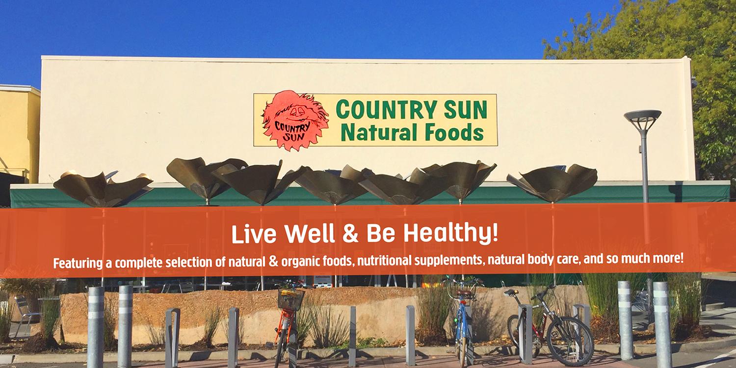
- Country Sun Natural Foods · Loc8NearMe business listing · source image (publication review pending) · Photo 1 · Photo 2 · Photo 3 · Photo 4 · Photo 5 · Photo 6 · Photo 7 · Photo 8
- THE MARKET at Edgewood · Loc8NearMe business listing · source image (publication review pending) · Photo 1 · Photo 2 · Photo 3 · Photo 4 · Photo 5 · Photo 6 · Photo 7 · Photo 8
- Mollie Stone's Markets · Loc8NearMe business listing · source image (publication review pending) · Photo 1 · Photo 2 · Photo 3 · Photo 4
- Marigold Row · Loc8NearMe business listing · source image (publication review pending) · Photo 1 · Photo 2 · Photo 3 · Photo 4
- Romi Boutique · Loc8NearMe business listing · source image (publication review pending) · Photo 1 · Photo 2 · Photo 3 · Photo 4
- G V Palo Alto · Loc8NearMe business listing · source image (publication review pending) · Photo 1 · Photo 2 · Photo 3 · Photo 4
- Shreve & Co. · Loc8NearMe business listing · source image (publication review pending) · Photo 1 · Photo 2 · Photo 3 · Photo 4
- Mansoor Fine Jewelers · Loc8NearMe business listing · source image (publication review pending) · Photo 1 · Photo 2 · Photo 3 · Photo 4 · Photo 5 · Photo 6 · Photo 7 · Photo 8
- De Novo Fine Contemporary Jewelry · Loc8NearMe business listing · source image (publication review pending) · Photo 1 · Photo 2 · Photo 3 · Photo 4 · Photo 5 · Photo 6 · Photo 7 · Photo 8
- CH Premier Jewelers · Loc8NearMe business listing · source image (publication review pending) · Photo 1 · Photo 2 · Photo 3 · Photo 4
- Ernie's Liquor · Loc8NearMe business listing · source image (publication review pending) · Photo 1 · Photo 2 · Photo 3 · Photo 4
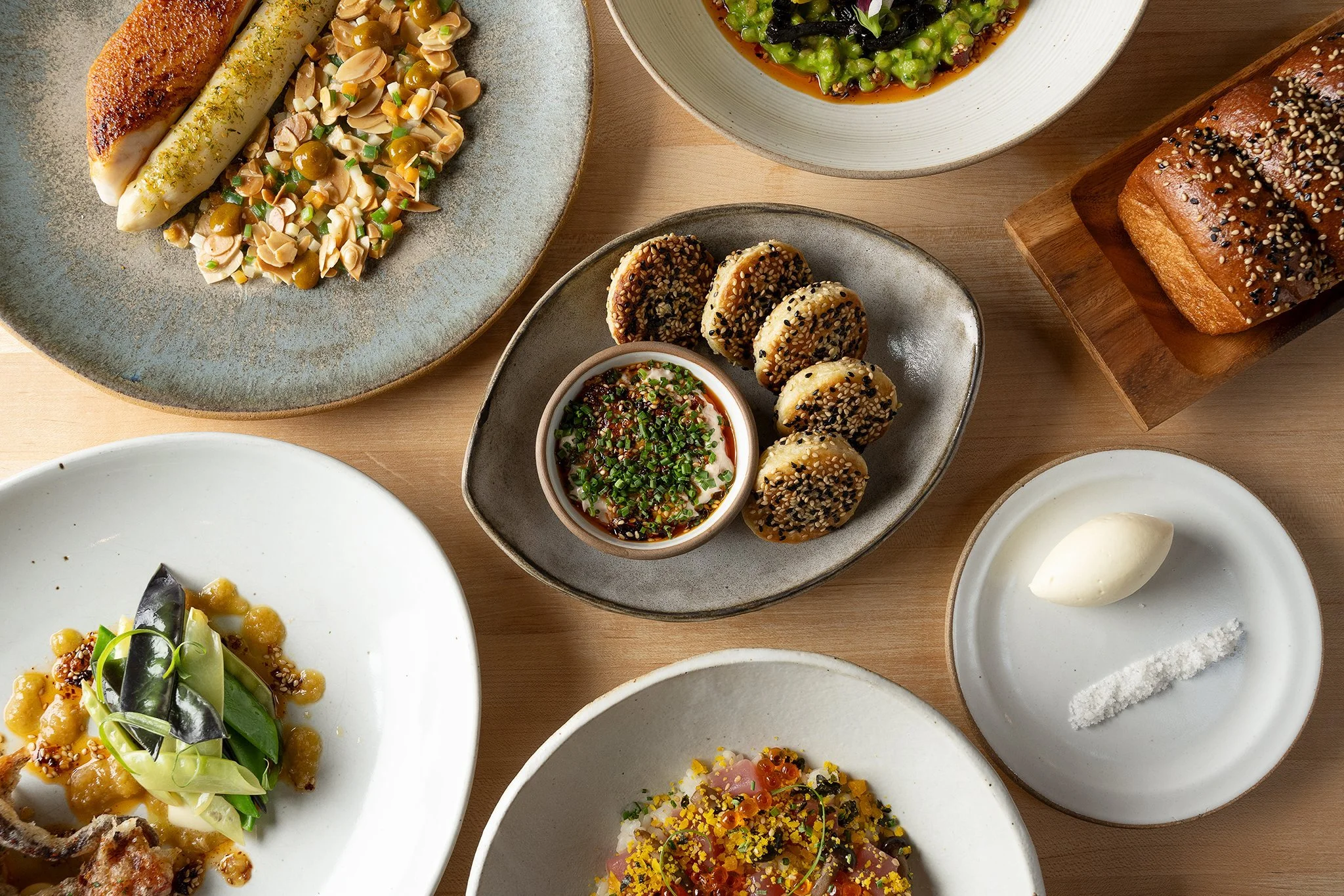
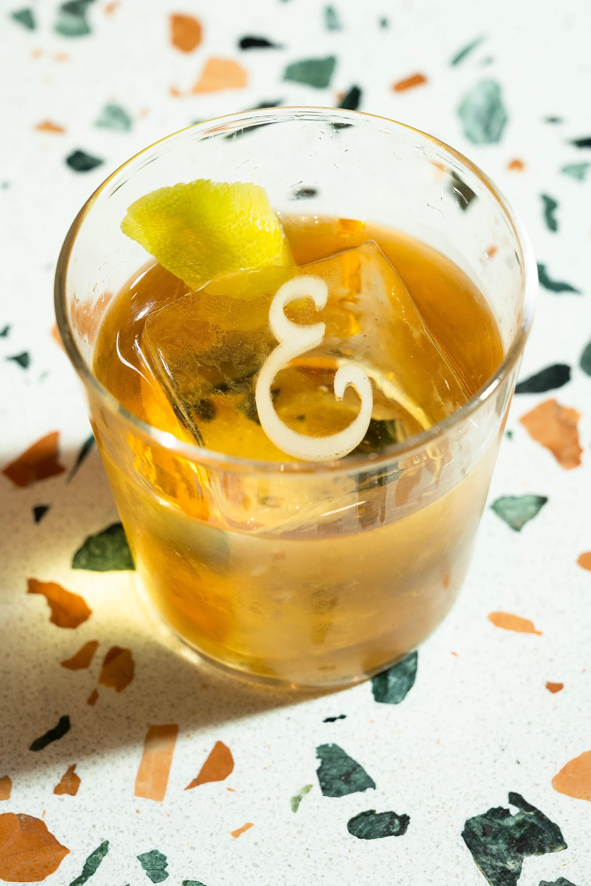
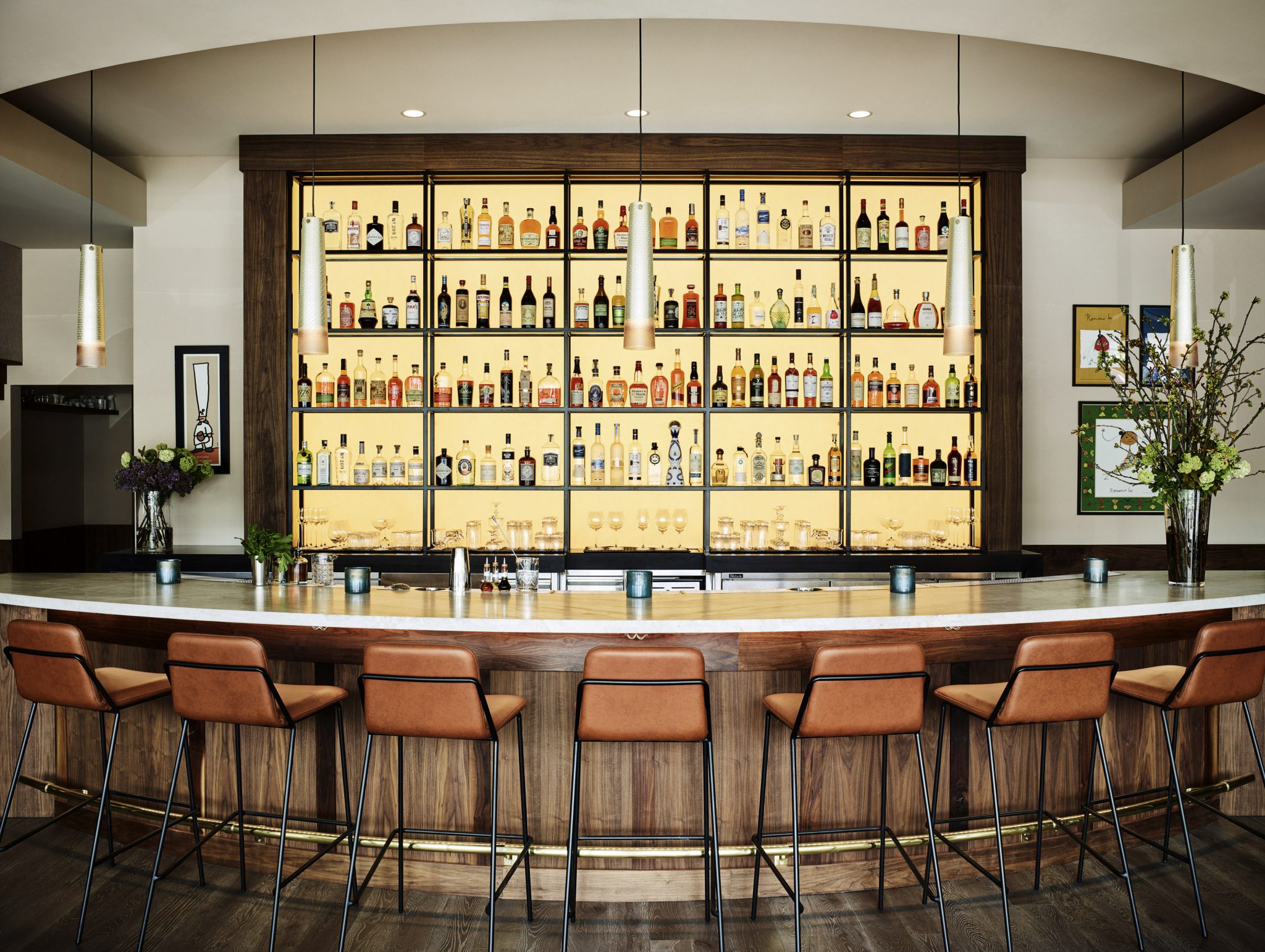
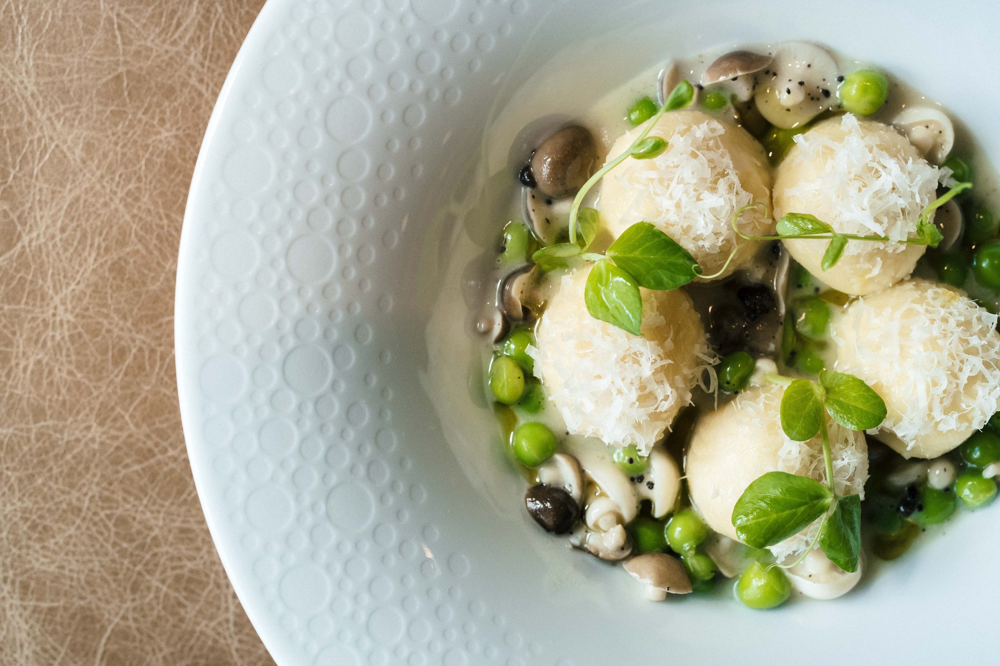
- Ethel's Fancy · Restaurantji business listing · source image (publication review pending) · Photo 1 · Photo 2 · Photo 3 · Photo 4 · Photo 5 · Photo 6 · Photo 7 · Photo 8
- Protégé · Restaurantji business listing · source image (publication review pending) · Photo 1 · Photo 2 · Photo 3 · Photo 4 · Photo 5 · Photo 6 · Photo 7 · Photo 8
- Cafe Pro Bono · Restaurantji business listing · source image (publication review pending) · Photo 1 · Photo 2 · Photo 3 · Photo 4 · Photo 5 · Photo 6 · Photo 7 · Photo 8
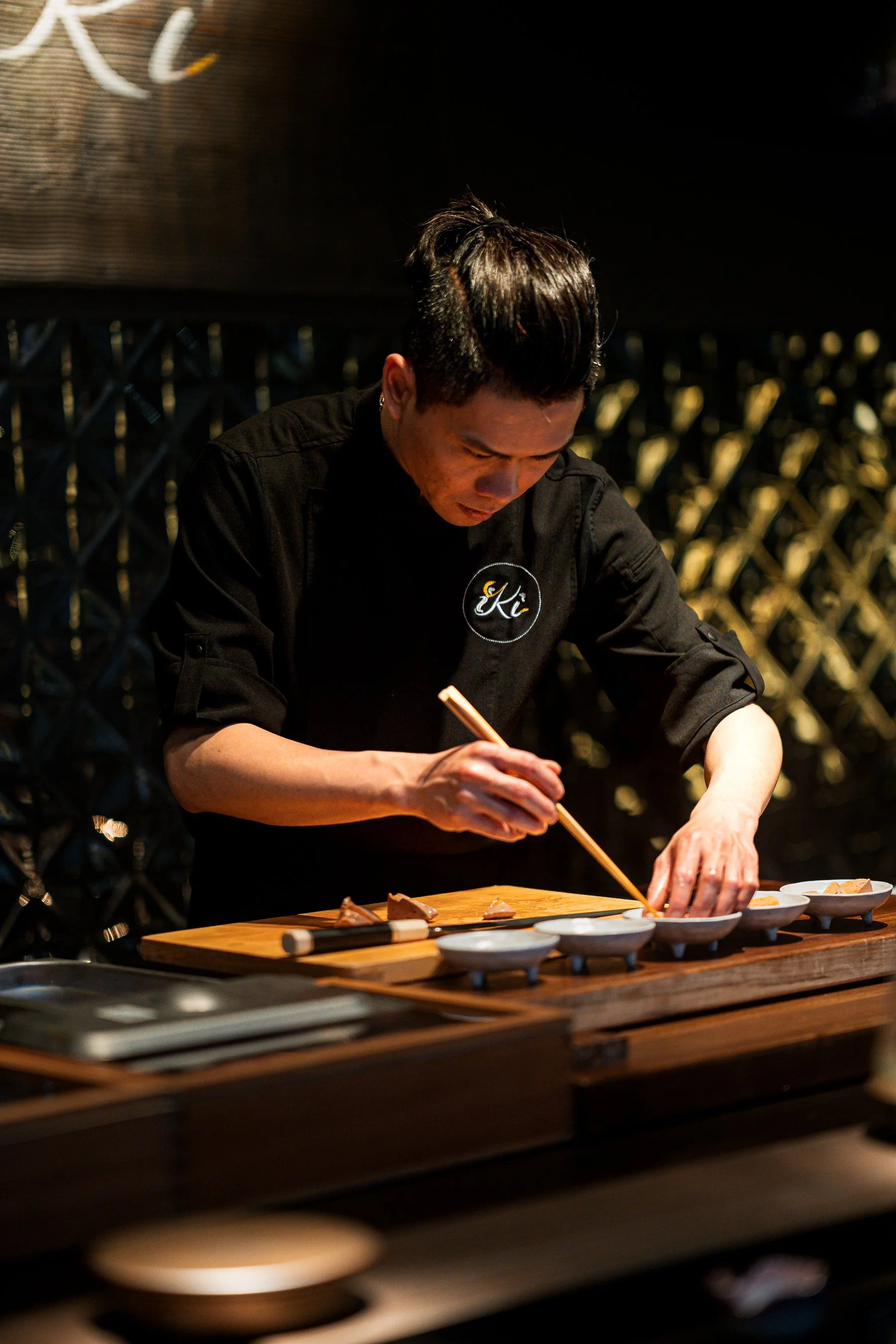
- Iki Omakase · Restaurantji business listing · source image (publication review pending) · Photo 1 · Photo 2 · Photo 3 · Photo 4 · Photo 5
- Evvia Estiatorio · Restaurantji business listing · source image (publication review pending) · Photo 1 · Photo 2 · Photo 3 · Photo 4
- Meyhouse & Meyhouse Jazz Club · Restaurantji business listing · source image (publication review pending) · Photo 1 · Photo 2 · Photo 3 · Photo 4
- Sundance The Steakhouse · Restaurantji business listing · source image (publication review pending) · Photo 1 · Photo 2 · Photo 3 · Photo 4
- Sekoya Lounge & Kitchen · Restaurantji business listing · source image (publication review pending) · Photo 1 · Photo 2 · Photo 3 · Photo 4
- RARA · Restaurantji business listing · source image (publication review pending) · Photo 1 · Photo 2 · Photo 3 · Photo 4 · Photo 5 · Photo 6 · Photo 7 · Photo 8
- Namaste Indian Cuisine · Restaurantji business listing · source image (publication review pending) · Photo 1 · Photo 2 · Photo 3 · Photo 4
- Tamarine Restaurant & Gallery · Restaurantji business listing · source image (publication review pending) · Photo 1 · Photo 2 · Photo 3 · Photo 4
- iTalico · Restaurantji business listing · source image (publication review pending) · Photo 1 · Photo 2 · Photo 3 · Photo 4
- Terun Pizza · Restaurantji business listing · source image (publication review pending) · Photo 1 · Photo 2 · Photo 3 · Photo 4
- Sprout Cafe · Restaurantji business listing · source image (publication review pending) · Photo 1 · Photo 2 · Photo 3 · Photo 4 · Photo 5 · Photo 6 · Photo 7 · Photo 8
- Palo Alto Sol · Restaurantji business listing · source image (publication review pending) · Photo 1 · Photo 2 · Photo 3 · Photo 4
- tane vegan izakaya · Restaurantji business listing · source image (publication review pending) · Photo 1 · Photo 2 · Photo 3 · Photo 4
- Ettan · Restaurantji business listing · source image (publication review pending) · Photo 1 · Photo 2 · Photo 3 · Photo 4
- Kali Greek Kitchen · Restaurantji business listing · source image (publication review pending) · Photo 1 · Photo 2 · Photo 3 · Photo 4
- Hummus Mediterranean Kitchen · Restaurantji business listing · source image (publication review pending) · Photo 1 · Photo 2 · Photo 3 · Photo 4
- Vino Locale · Restaurantji business listing · source image (publication review pending) · Photo 1 · Photo 2 · Photo 3 · Photo 4
- Arya Steakhouse · Restaurantji business listing · source image (publication review pending) · Photo 1 · Photo 2 · Photo 3 · Photo 4
- Vina Enoteca · Restaurantji business listing · source image (publication review pending) · Photo 1 · Photo 2 · Photo 3 · Photo 4 · Photo 5 · Photo 6 · Photo 7
- Taste · Restaurantji business listing · source image (publication review pending) · Photo 1 · Photo 2 · Photo 3 · Photo 4
- Zareen's · Restaurantji business listing · source image (publication review pending) · Photo 1 · Photo 2 · Photo 3 · Photo 4
- Kanji Sushi & Ramen · Restaurantji business listing · source image (publication review pending) · Photo 1 · Photo 2 · Photo 3 · Photo 4
- Darbar Indian Cuisine · Restaurantji business listing · source image (publication review pending) · Photo 1 · Photo 2 · Photo 3 · Photo 4
- Zola + BarZola · Restaurantji business listing · source image (publication review pending) · Photo 1 · Photo 2 · Photo 3 · Photo 4
- City Hall Cafe · Restaurantji business listing · source image (publication review pending) · Photo 1 · Photo 2 · Photo 3 · Photo 4
- Joanie's Cafe · Restaurantji business listing · source image (publication review pending) · Photo 1 · Photo 2 · Photo 3 · Photo 4
- Hobee's Restaurant · Restaurantji business listing · source image (publication review pending) · Photo 1 · Photo 2 · Photo 3 · Photo 4
- Bistro Maxine · Restaurantji business listing · source image (publication review pending) · Photo 1 · Photo 2 · Photo 3 · Photo 4
- Mamahuhu · Restaurantji business listing · source image (publication review pending) · Photo 1 · Photo 2 · Photo 3 · Photo 4
- HE&C Tea + Pot · Restaurantji business listing · source image (publication review pending) · Photo 1 · Photo 2 · Photo 3 · Photo 4
- Hong Kong Restaurant · Restaurantji business listing · source image (publication review pending) · Photo 1 · Photo 2 · Photo 3 · Photo 4
- Chef Zhao Kitchen · Restaurantji business listing · source image (publication review pending) · Photo 1 · Photo 2 · Photo 3 · Photo 4
- Tai Pan · Restaurantji business listing · source image (publication review pending) · Photo 1 · Photo 2 · Photo 3 · Photo 4
- Imperial treasure · Restaurantji business listing · source image (publication review pending) · Photo 1 · Photo 2 · Photo 3 · Photo 4
- Green Elephant Gourmet · Restaurantji business listing · source image (publication review pending) · Photo 1 · Photo 2 · Photo 3 · Photo 4
- Indochine · Restaurantji business listing · source image (publication review pending) · Photo 1 · Photo 2 · Photo 3 · Photo 4
- Bistro Elan · Restaurantji business listing · source image (publication review pending) · Photo 1 · Photo 2 · Photo 3 · Photo 4 · Photo 5 · Photo 6 · Photo 7 · Photo 8
- Caffe Riace · Restaurantji business listing · source image (publication review pending) · Photo 1 · Photo 2 · Photo 3 · Photo 4
- Howie's Artisan Pizza · Restaurantji business listing · source image (publication review pending) · Photo 1 · Photo 2 · Photo 3 · Photo 4
- Fiorella · Restaurantji business listing · source image (publication review pending) · Photo 1 · Photo 2 · Photo 3 · Photo 4
- Osteria Toscana · Restaurantji business listing · source image (publication review pending) · Photo 1 · Photo 2 · Photo 3 · Photo 4
- Pizzeria Delfina - Palo Alto · Restaurantji business listing · source image (publication review pending) · Photo 1 · Photo 2 · Photo 3 · Photo 4
- Araki Sushi · Restaurantji business listing · source image (publication review pending) · Photo 1 · Photo 2 · Photo 3 · Photo 4
- Kanpai · Restaurantji business listing · source image (publication review pending) · Photo 1 · Photo 2 · Photo 3 · Photo 4 · Photo 5 · Photo 6 · Photo 7 · Photo 8
- Sushi House · Restaurantji business listing · source image (publication review pending) · Photo 1 · Photo 2 · Photo 3 · Photo 4
- Daigo · Restaurantji business listing · source image (publication review pending) · Photo 1 · Photo 2 · Photo 3 · Photo 4
- Jin Sho · Restaurantji business listing · source image (publication review pending) · Photo 1 · Photo 2 · Photo 3 · Photo 4
- Dohatsuten Ramen & Tapas · Restaurantji business listing · source image (publication review pending) · Photo 1 · Photo 2 · Photo 3 · Photo 4
- Fuki Sushi · Restaurantji business listing · source image (publication review pending) · Photo 1 · Photo 2 · Photo 3 · Photo 4 · Photo 5 · Photo 6 · Photo 7
- MJ Sushi Palo Alto · Restaurantji business listing · source image (publication review pending) · Photo 1 · Photo 2 · Photo 3 · Photo 4
- Go Fish Poke Bar- Stanford Shopping Center · Restaurantji business listing · source image (publication review pending) · Photo 1 · Photo 2 · Photo 3 · Photo 4
- Taro San Japanese Noodle Bar · Restaurantji business listing · source image (publication review pending) · Photo 1 · Photo 2 · Photo 3 · Photo 4 · Photo 5 · Photo 6 · Photo 7
- Odori Japanese Cuisine · Restaurantji business listing · source image (publication review pending) · Photo 1 · Photo 2 · Photo 3 · Photo 4 · Photo 5 · Photo 6 · Photo 7 · Photo 8
- Mediterranean Wraps · Restaurantji business listing · source image (publication review pending) · Photo 1 · Photo 2 · Photo 3 · Photo 4
- Café Soleil · Restaurantji business listing · source image (publication review pending) · Photo 1 · Photo 2 · Photo 3 · Photo 4
- Real Mediterranean Kitchen · Restaurantji business listing · source image (publication review pending) · Photo 1 · Photo 2 · Photo 3 · Photo 4
- Anatolian Kitchen · Restaurantji business listing · source image (publication review pending) · Photo 1 · Photo 2 · Photo 3 · Photo 4 · Photo 5 · Photo 6 · Photo 7 · Photo 8
- Orens Hummus Express · Restaurantji business listing · source image (publication review pending) · Photo 1 · Photo 2 · Photo 3 · Photo 4
- Sun Of Wolf · Restaurantji business listing · source image (publication review pending) · Photo 1 · Photo 2 · Photo 3 · Photo 4 · Photo 5 · Photo 6 · Photo 7
- Reposado · Restaurantji business listing · source image (publication review pending) · Photo 1 · Photo 2 · Photo 3 · Photo 4
- Sancho's Taqueria · Restaurantji business listing · source image (publication review pending) · Photo 1 · Photo 2 · Photo 3 · Photo 4
- Celia’s Mexican Restaurant · Restaurantji business listing · source image (publication review pending) · Photo 1 · Photo 2 · Photo 3 · Photo 4
- Marcella La Pupuseria · Restaurantji business listing · source image (publication review pending) · Photo 1 · Photo 2 · Photo 3 · Photo 4
- San Agus Cocina Urbana & Cocktails · Restaurantji business listing · source image (publication review pending) · Photo 1 · Photo 2 · Photo 3 · Photo 4
- Como Esta Taqueria · Restaurantji business listing · source image (publication review pending) · Photo 1 · Photo 2 · Photo 3 · Photo 4 · Photo 5 · Photo 6
- LuLu's Town & Country Village · Restaurantji business listing · source image (publication review pending) · Photo 1 · Photo 2 · Photo 3 · Photo 4
- El Taco Ranchero · Restaurantji business listing · source image (publication review pending) · Photo 1 · Photo 2 · Photo 3 · Photo 4
- Taqueria El Grullense M&G · Restaurantji business listing · source image (publication review pending) · Photo 1 · Photo 2 · Photo 3 · Photo 4
- State of Mind Slice House · Restaurantji business listing · source image (publication review pending) · Photo 1 · Photo 2 · Photo 3 · Photo 4
- Palo Alto Art Center · Tombrinck · CC BY-SA 4.0 · Photo 1 · Photo 2 · Photo 3 · Photo 4
- New York Pizza Palo Alto · Restaurantji business listing · source image (publication review pending) · Photo 1 · Photo 2 · Photo 3 · Photo 4
- Thaiphoon Restaurant · Restaurantji business listing · source image (publication review pending) · Photo 1 · Photo 2 · Photo 3 · Photo 4 · Photo 5 · Photo 6 · Photo 7 · Photo 8
- Lotus Thai Bistro · Restaurantji business listing · source image (publication review pending) · Photo 1 · Photo 2 · Photo 3 · Photo 4
- Roost & Roast · Restaurantji business listing · source image (publication review pending) · Photo 1 · Photo 2 · Photo 3 · Photo 4
- Douce France · Restaurantji business listing · source image (publication review pending) · Photo 1 · Photo 2 · Photo 3 · Photo 4 · Photo 5 · Photo 6 · Photo 7 · Photo 8
- Ada's Cafe · Restaurantji business listing · source image (publication review pending) · Photo 1 · Photo 2 · Photo 3 · Photo 4 · Photo 5 · Photo 6 · Photo 7
- Mademoiselle Colette · Restaurantji business listing · source image (publication review pending) · Photo 1 · Photo 2 · Photo 3 · Photo 4
- Palo Alto Creamery · Restaurantji business listing · source image (publication review pending) · Photo 1 · Photo 2 · Photo 3 · Photo 4 · Photo 5 · Photo 6 · Photo 7 · Photo 8
- Deja Vu Bakery & Catering · Restaurantji business listing · source image (publication review pending) · Photo 1 · Photo 2 · Photo 3 · Photo 4
- Manresa Bread · Restaurantji business listing · source image (publication review pending) · Photo 1 · Photo 2 · Photo 3 · Photo 4
- La Baguette · Restaurantji business listing · source image (publication review pending) · Photo 1 · Photo 2 · Photo 3 · Photo 4
- Oklava Cafe · Restaurantji business listing · source image (publication review pending) · Photo 1 · Photo 2 · Photo 3 · Photo 4
- Coupa Cafe - Ramona · Restaurantji business listing · source image (publication review pending) · Photo 1 · Photo 2 · Photo 3 · Photo 4
- Palo Alto Cafe · Restaurantji business listing · source image (publication review pending) · Photo 1 · Photo 2 · Photo 3 · Photo 4 · Photo 5 · Photo 6 · Photo 7 · Photo 8
- Fambrini’s Cafe · Restaurantji business listing · source image (publication review pending) · Photo 1 · Photo 2 · Photo 3 · Photo 4
- Coupa Cafe - Lytton · Restaurantji business listing · source image (publication review pending) · Photo 1 · Photo 2 · Photo 3 · Photo 4
- Rikyu · Restaurantji business listing · source image (publication review pending) · Photo 1 · Photo 2 · Photo 3 · Photo 4
- Cafe Venetia · Restaurantji business listing · source image (publication review pending) · Photo 1 · Photo 2 · Photo 3 · Photo 4
- Redwood Café by Chef Julien · Restaurantji business listing · source image (publication review pending) · Photo 1 · Photo 2 · Photo 3 · Photo 4
- ZombieRunner Coffee · Restaurantji business listing · source image (publication review pending) · Photo 1 · Photo 2 · Photo 3 · Photo 4
- Caffe Stellato · Restaurantji business listing · source image (publication review pending) · Photo 1 · Photo 2 · Photo 3 · Photo 4
- Rick's Ice Cream & Pints of Joy · Restaurantji business listing · source image (publication review pending) · Photo 1 · Photo 2 · Photo 3 · Photo 4
- Peninsula Creamery - Dairy Store & Grill · Restaurantji business listing · source image (publication review pending) · Photo 1 · Photo 2 · Photo 3 · Photo 4
- Driftwood Deli & Market · Restaurantji business listing · source image (publication review pending) · Photo 1 · Photo 2 · Photo 3 · Photo 4 · Photo 5 · Photo 6 · Photo 7 · Photo 8
- The Penny Ice Creamery | Town & Country Village · Restaurantji business listing · source image (publication review pending) · Photo 1 · Photo 2 · Photo 3 · Photo 4
- Scoop · Restaurantji business listing · source image (publication review pending) · Photo 1 · Photo 2 · Photo 3 · Photo 4 · Photo 5 · Photo 6 · Photo 7
- Rabbit Rabbit Cream · Restaurantji business listing · source image (publication review pending) · Photo 1 · Photo 2 · Photo 3 · Photo 4
- darren-mcclung-estate-and-precious-jewelry · Photo: Darren Mcclung Estate & Precious Jewelry website · Photo 1 · Photo 2 · Photo 3 · Photo 4 · Photo 5 · Photo 6 · Photo 7 · Photo 8
- stanford-theatre · Photo: Stanford Theatre website · Photo 1
- node · Photo: Node website · Photo 1 · Photo 2 · Photo 3
- macs-smoke-shop · Photo: Mac's Smoke Shop website · Photo 1 · Photo 2
- bare-bowls · Photo: Bare Bowls website · Photo 1 · Photo 2 · Photo 3 · Photo 4 · Photo 5
- cafe-220 · Photo: Cafe 220 website · Photo 1 · Photo 2 · Photo 3 · Photo 4 · Photo 5 · Photo 6 · Photo 7 · Photo 8
- arnoldi-jewelers · Photo: Arnoldi Jewelers website · Photo 1 · Photo 2 · Photo 3 · Photo 4 · Photo 5
- peninsula-fountain-grill · Photo: Peninsula Fountain Grill website · Photo 1 · Photo 2 · Photo 3 · Photo 4
- the-rose-and-crown · Photo: The Rose and Crown website · Photo 1 · Photo 2 · Photo 3
- scottys-bar-and-grill · Photo: Scotty's Bar & Grill website · Photo 1
- galerie · Photo: Galerie website · Photo 1 · Photo 2 · Photo 3 · Photo 4 · Photo 5 · Photo 6 · Photo 7
- tea-time-in-palo-alto · Photo: Tea Time in Palo Alto website · Photo 1 · Photo 2 · Photo 3 · Photo 4 · Photo 5 · Photo 6 · Photo 7
- artsy-rugs · Photo: Artsy Rugs website · Photo 1 · Photo 2 · Photo 3 · Photo 4 · Photo 5 · Photo 6 · Photo 7 · Photo 8
- coconuts-caribbean-palo-alto · Photo: Coconuts Caribbean Palo Alto website · Photo 1 · Photo 2 · Photo 3 · Photo 4
- downtown-palo-alto-farmers-market · Photo: Downtown Palo Alto Farmers Market website · Photo 1 · Photo 2 · Photo 3 · Photo 4
- the-new-varsity · Photo: The New Varsity website · Photo 1 · Photo 2 · Photo 3 · Photo 4
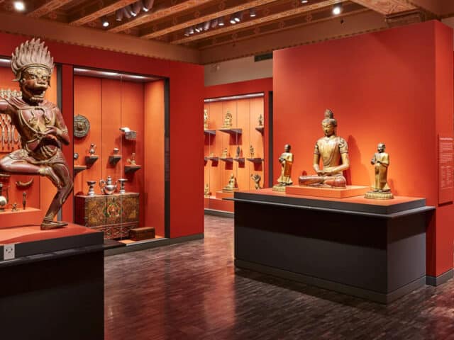
- museum-of-american-heritage · Photo: Museum of American Heritage website · Photo 1 · Photo 2 · Photo 3 · Photo 4
- essentique · Photo: Essentique website · Photo 1 · Photo 2 · Photo 3 · Photo 4 · Photo 5 · Photo 6 · Photo 7 · Photo 8
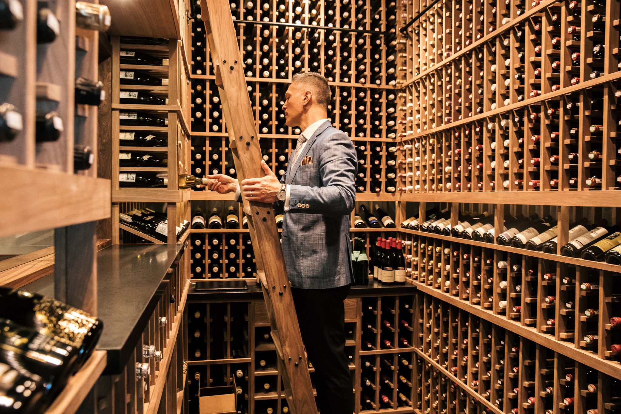
- vin-vino-wine · Photo: Vin Vino Wine website · Photo 1 · Photo 2
- dumpling-city · Photo: Dumpling City 水饺之城 website · Photo 1 · Photo 2 · Photo 3
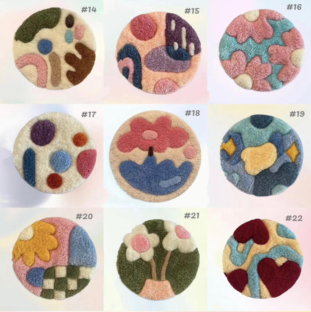
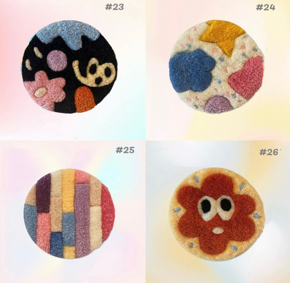
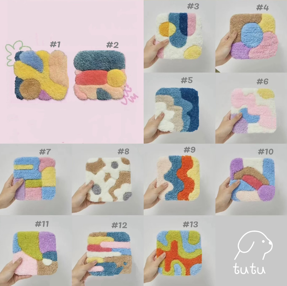
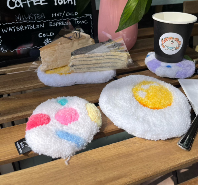
- tutu-llc · Photo: Tutu Llc website · Photo 1 · Photo 2 · Photo 3 · Photo 4 · Photo 5 · Photo 6 · Photo 7
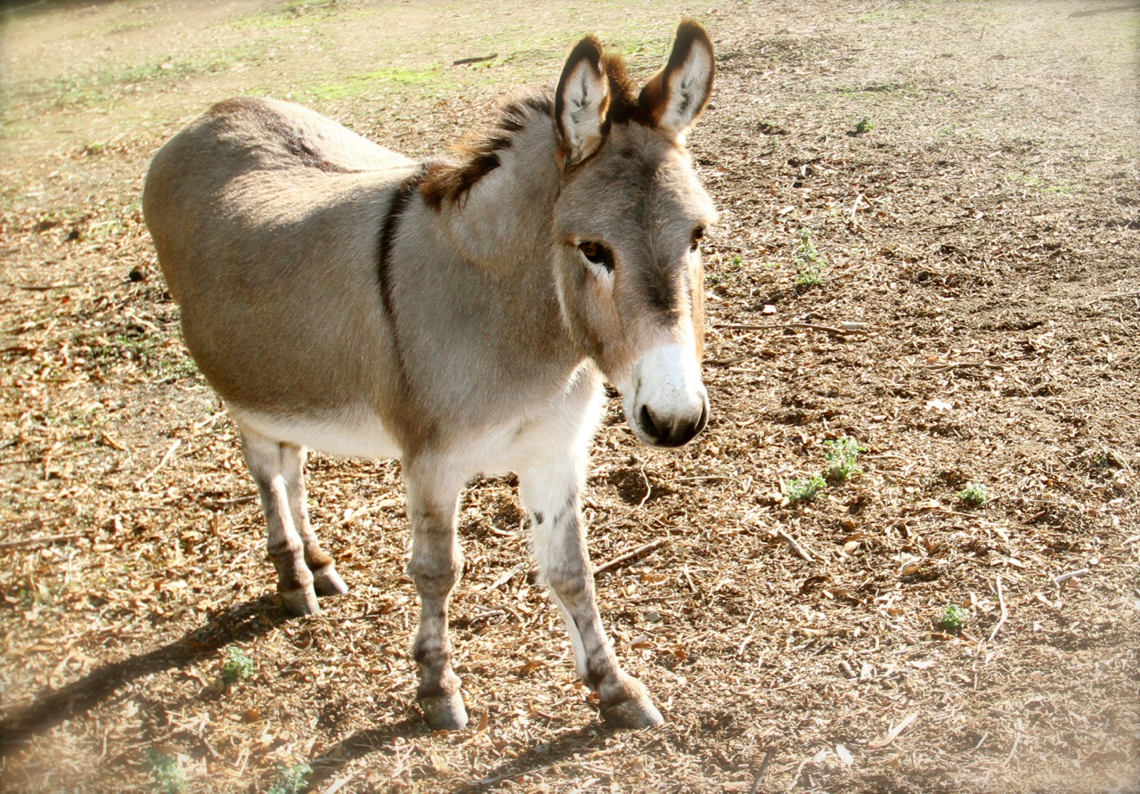
- barron-park-donkeys · Photo: Barron Park Donkeys website · Photo 1 · Photo 2 · Photo 3 · Photo 4 · Photo 5 · Photo 6
- silicon-valley-boychoir · Photo: Silicon Valley Boychoir website · Photo 1 · Photo 2
- medaka-no-gakko · Photo: Medaka no Gakko website · Photo 1 · Photo 2
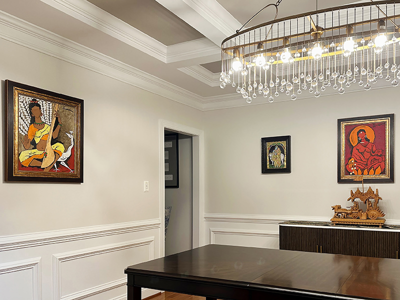
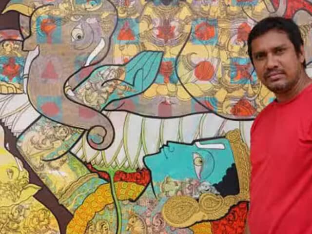
- laasya-art-gallery · Photo: Laasya Art Gallery website · Photo 1 · Photo 2 · Photo 3 · Photo 4 · Photo 5 · Photo 6
- holy-sushi · Photo: Holy Sushi website · Photo 1
- bpc-art-studio · Photo: Bpc Art Studio website · Photo 1 · Photo 2 · Photo 3 · Photo 4 · Photo 5
- angry-stag · Photo: Angry Stag website · Photo 1 · Photo 2 · Photo 3 · Photo 4 · Photo 5 · Photo 6 · Photo 7 · Photo 8
- ciardellas-garden-supply · Photo: Ciardella's Garden Supply website · Photo 1
- palo-alto-art-studios · Photo: Palo Alto Art Studios website · Photo 1 · Photo 2 · Photo 3 · Photo 4
- the-foster-museum · Photo: The Foster Museum website · Photo 1 · Photo 2 · Photo 3 · Photo 4 · Photo 5 · Photo 6
- lets-go-crafting · Photo: Let's Go Crafting website · Photo 1 · Photo 2 · Photo 3 · Photo 4
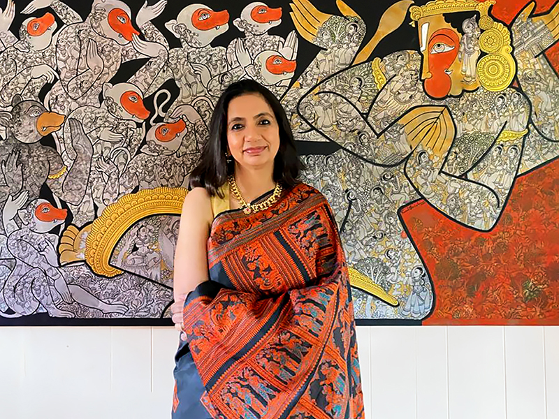
- swati-couture-indian-fashion · Photo: SWATI Couture Indian Fashion website · Photo 1 · Photo 2 · Photo 3 · Photo 4
- Color Theory Hair Salon PA · Photo: Color Theory Hair Salon PA website · Photo 1 · Photo 2 · Photo 3 · Photo 4 · Photo 5 · Photo 6 · Photo 7
- Forest Spa Boutique · Photo: Forest Spa Boutique website · Photo 1
- Yoga Source · Photo: Yoga Source website · Photo 1 · Photo 2 · Photo 3 · Photo 4 · Photo 5 · Photo 6 · Photo 7 · Photo 8
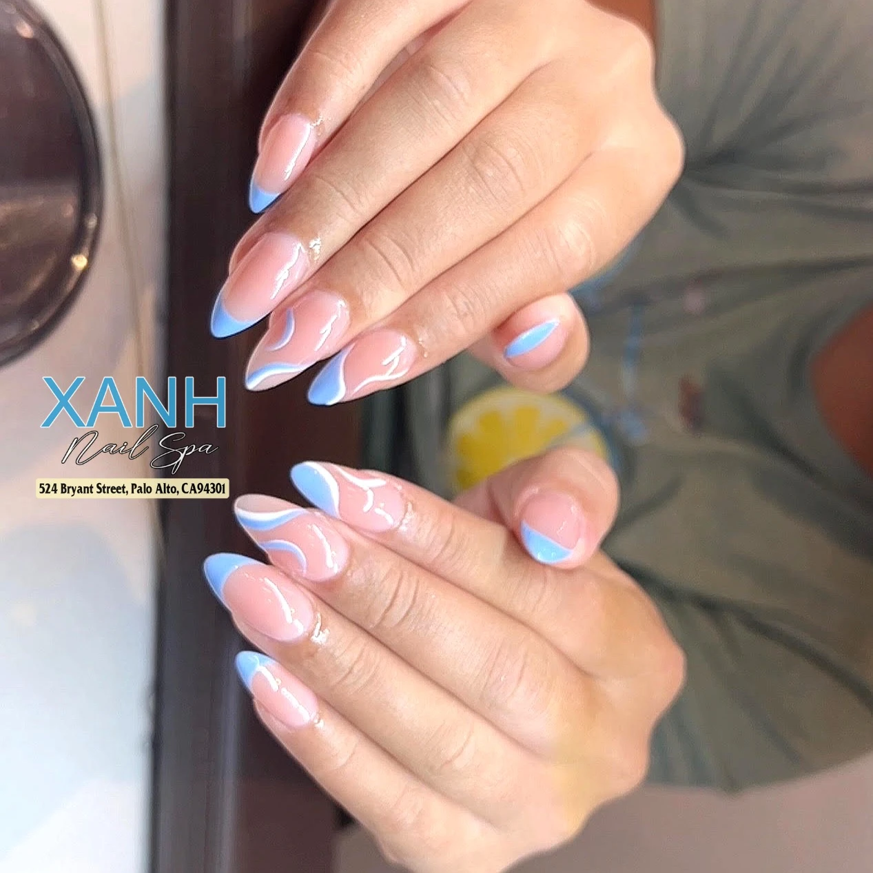
- XANH Nail Spa · Photo: XANH Nail Spa website · Photo 1 · Photo 2 · Photo 3 · Photo 4 · Photo 5 · Photo 6 · Photo 7
- Lively X Studio · Photo: Lively X Studio website · Photo 1 · Photo 2 · Photo 3 · Photo 4 · Photo 5 · Photo 6 · Photo 7
- Barebones Training · Photo: Barebones Training website · Photo 1 · Photo 2 · Photo 3
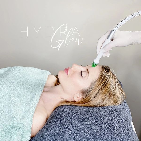
- Elisha Marie Skin & Body · Photo: Elisha Marie Skin & Body website · Photo 1 · Photo 2 · Photo 3
- Face Value - Skin Care Studio · Photo: Face Value - Skin Care Studio website · Photo 1 · Photo 2
- Radhika Beauty Salon · Photo: Radhika Beauty Salon website · Photo 1 · Photo 2 · Photo 3
- Balance Center · Photo: Balance Center website · Photo 1 · Photo 2 · Photo 3 · Photo 4 · Photo 5
- Monika Stone Skin · Photo: Monika Stone Skin website · Photo 1 · Photo 2 · Photo 3 · Photo 4 · Photo 5 · Photo 6 · Photo 7 · Photo 8
- Nmd Spa & Skin Studios · Photo: Nmd Spa & Skin Studios website · Photo 1 · Photo 2
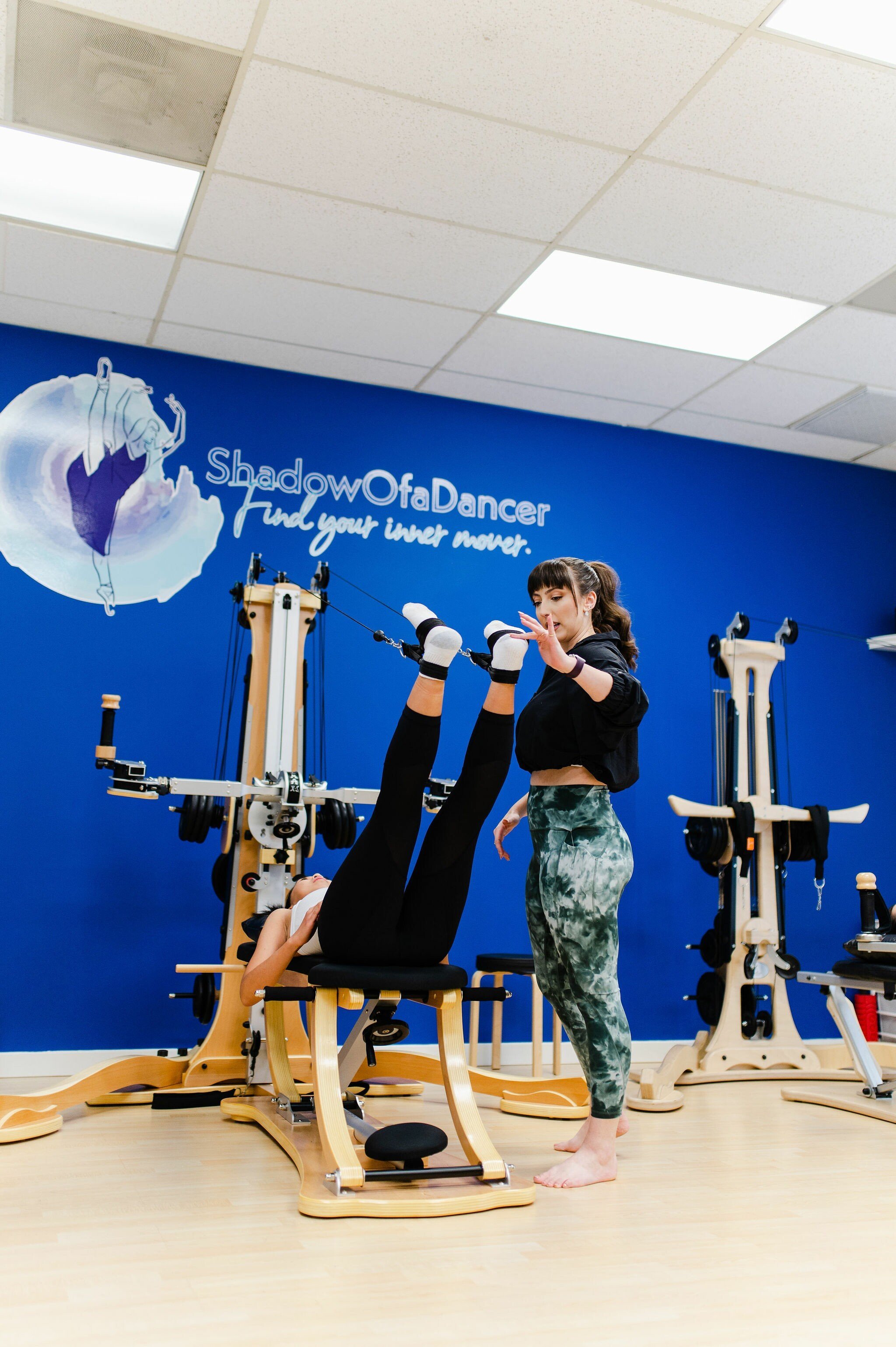
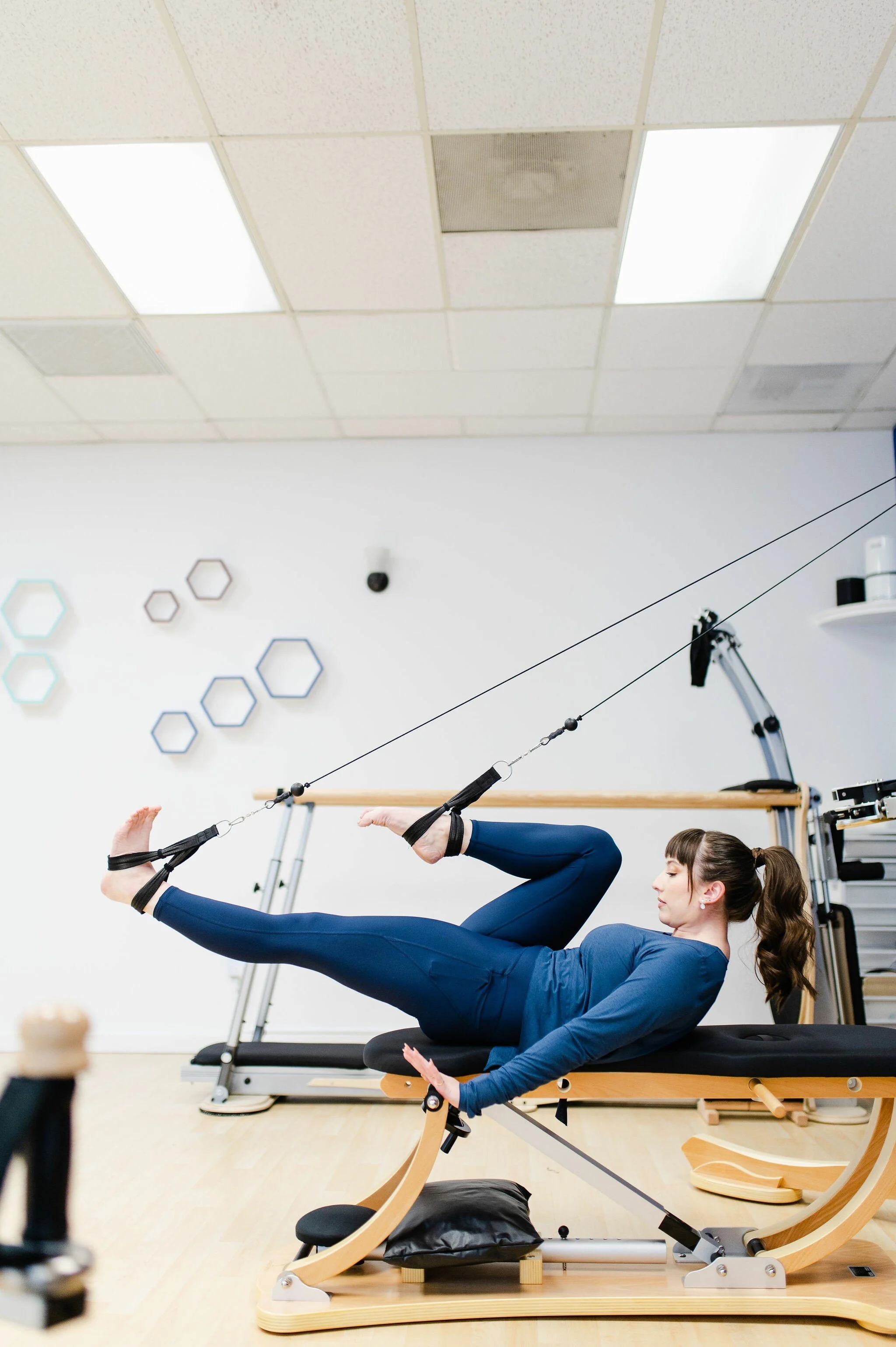
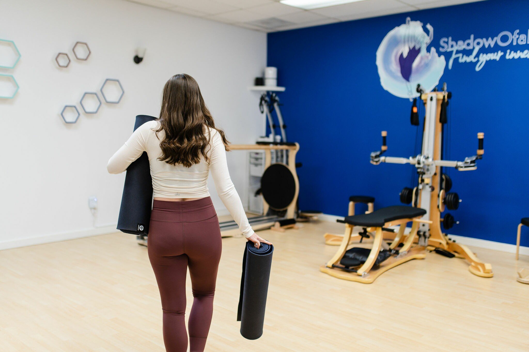
- Shadowofadancer · Photo: Shadowofadancer website · Photo 1 · Photo 2 · Photo 3 · Photo 4 · Photo 5 · Photo 6 · Photo 7 · Photo 8
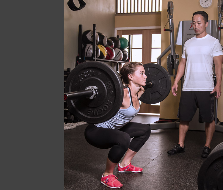
- Silicon Valley Fit · Photo: Siliconvalleyfit website · Photo 1 · Photo 2 · Photo 3 · Photo 4 · Photo 5 · Photo 6 · Photo 7 · Photo 8
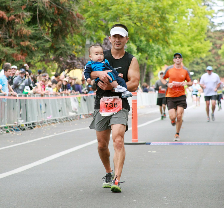
- Jy Fitness · Photo: Jy Fitness website · Photo 1 · Photo 2 · Photo 3 · Photo 4 · Photo 5 · Photo 6 · Photo 7 · Photo 8
- Ocean Acupuncture · Photo: Ocean Acupuncture website · Photo 1 · Photo 2 · Photo 3 · Photo 4
- The Well · Photo: The Well website · Photo 1
- Performancegaines · Photo: Performancegaines website · Photo 1 · Photo 2 · Photo 3 · Photo 4 · Photo 5 · Photo 6 · Photo 7
- Palo Alto Fit · Photo: Palo Alto Fit website · Photo 1 · Photo 2 · Photo 3 · Photo 4 · Photo 5 · Photo 6 · Photo 7 · Photo 8
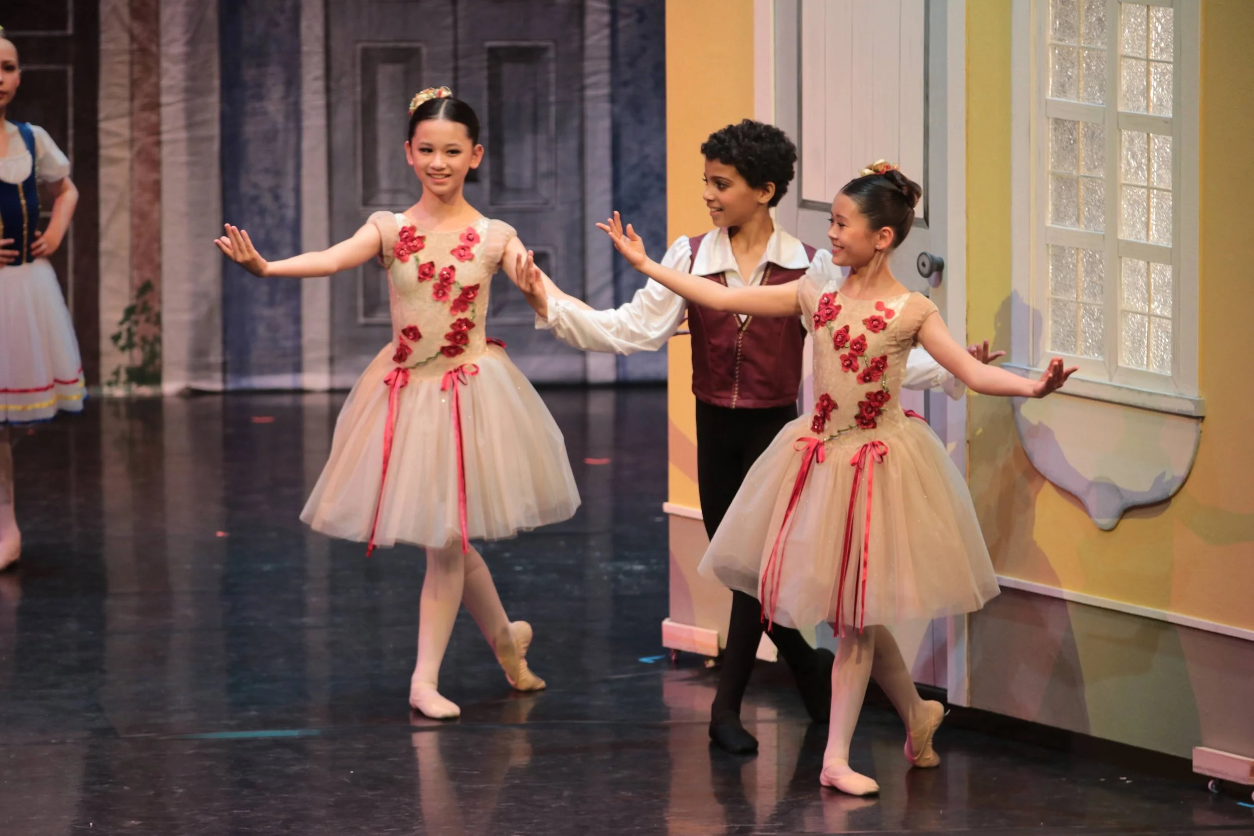
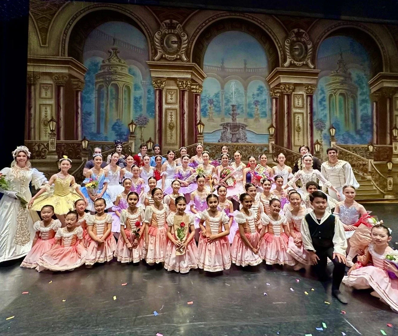
- Victoria Ballet Palo Alto · Photo: Victoria Ballet Palo Alto website · Photo 1 · Photo 2 · Photo 3 · Photo 4 · Photo 5 · Photo 6 · Photo 7 · Photo 8
- Social Salon · Photo: Social Salon website · Photo 1
- Serenity Nails · Photo: Serenity Nails website · Photo 1 · Photo 2 · Photo 3 · Photo 4 · Photo 5 · Photo 6 · Photo 7 · Photo 8
- JB Spa · Photo: JB Spa website · Photo 1 · Photo 2 · Photo 3 · Photo 4 · Photo 5 · Photo 6
- Monsoon Dance Company · Photo: Monsoon Dance Company website · Photo 1 · Photo 2 · Photo 3 · Photo 4 · Photo 5 · Photo 6 · Photo 7
- Taekwon Tigers Palo Alto · Photo: Taekwon Tigers Palo Alto website · Photo 1 · Photo 2 · Photo 3 · Photo 4 · Photo 5
- Immersion Spa · Photo: Immersion Spa website · Photo 1 · Photo 2 · Photo 3 · Photo 4 · Photo 5
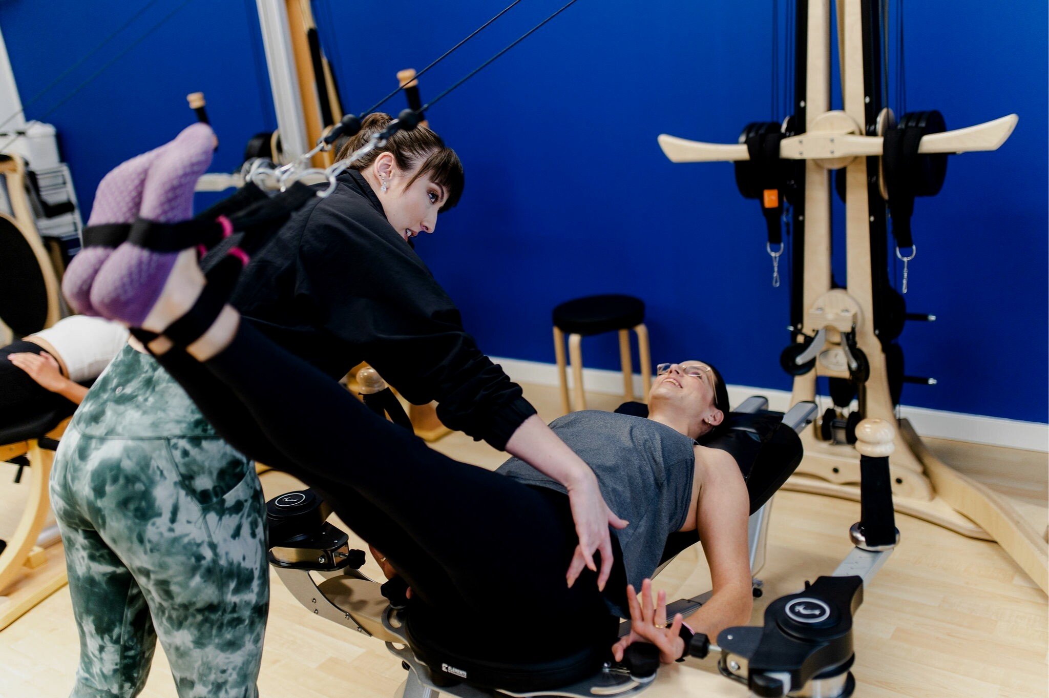
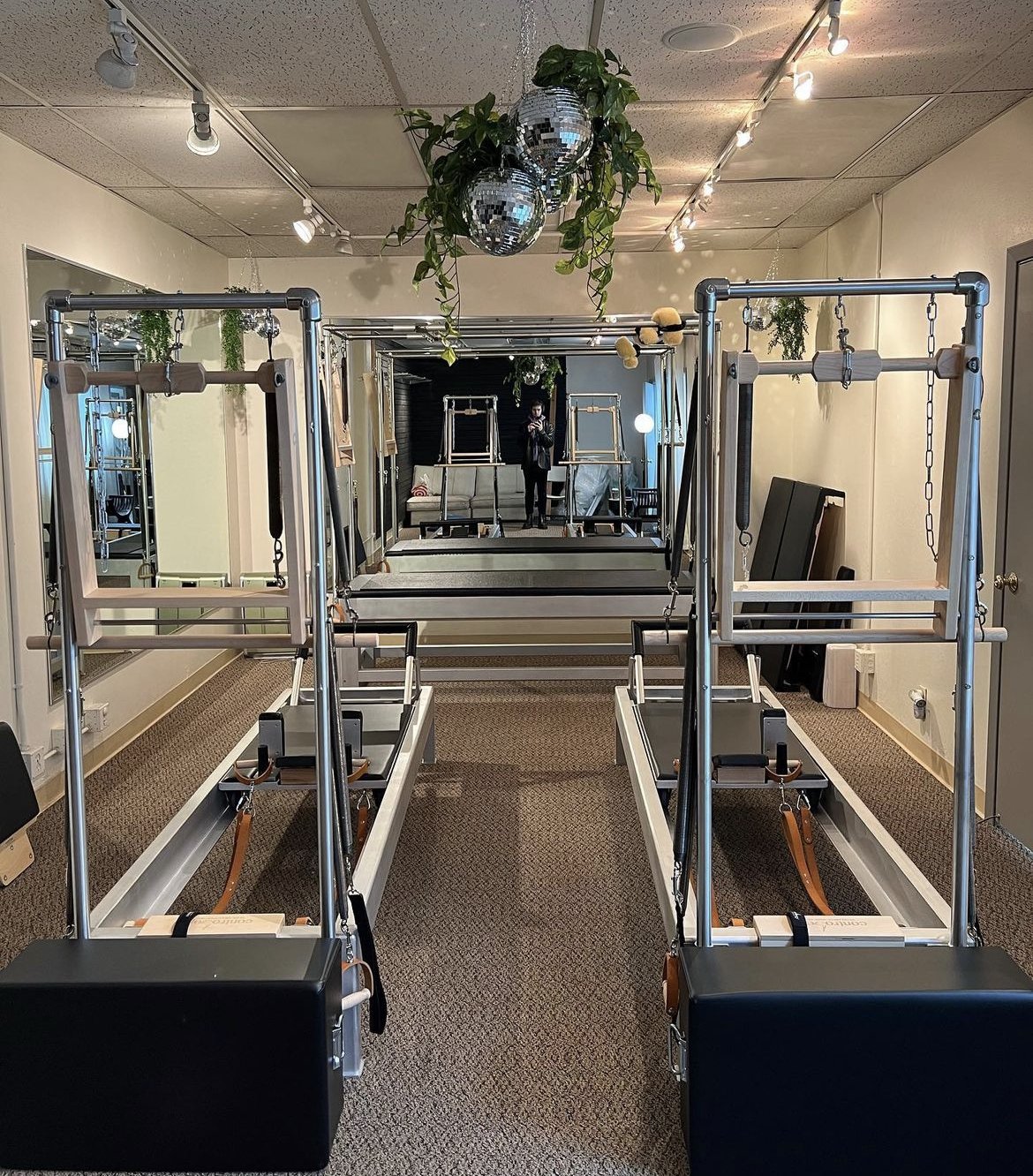
- Flo Pilates · Photo: Flo Pilates website · Photo 1 · Photo 2 · Photo 3 · Photo 4 · Photo 5
- monica-foster-salon · Photo: Monica Foster Salon website · Photo 1 · Photo 2 · Photo 3 · Photo 4 · Photo 5 · Photo 6 · Photo 7
- Winter Lodge · Photo: Winter Lodge website · Photo 1 · Photo 2 · Photo 3 · Photo 4 · Photo 5
- Kim Grant Tennis Academy · Photo: Kim Grant Tennis Academy website · Photo 1 · Photo 2 · Photo 3 · Photo 4
- Yoga for Seniors and Adults 50+ | with Patricia Becker · Photo: Yoga for Seniors and Adults 50+ | with Patricia Becker website · Photo 1 · Photo 2 · Photo 3 · Photo 4 · Photo 5 · Photo 6 · Photo 7 · Photo 8
- guru-shradha · Photo: Guru Shradha website · Photo 1 · Photo 2 · Photo 3
- Ramon Moreno School of Ballet · Photo: Ramon Moreno School of Ballet website · Photo 1 · Photo 2 · Photo 3 · Photo 4 · Photo 5 · Photo 6
- HeartFit For Life · Photo: HeartFit For Life website · Photo 1 · Photo 2 · Photo 3 · Photo 4 · Photo 5 · Photo 6 · Photo 7 · Photo 8
- Silicon Valley Karate · Photo: Silicon Valley Karate website · Photo 1 · Photo 2 · Photo 3 · Photo 4 · Photo 5 · Photo 6 · Photo 7
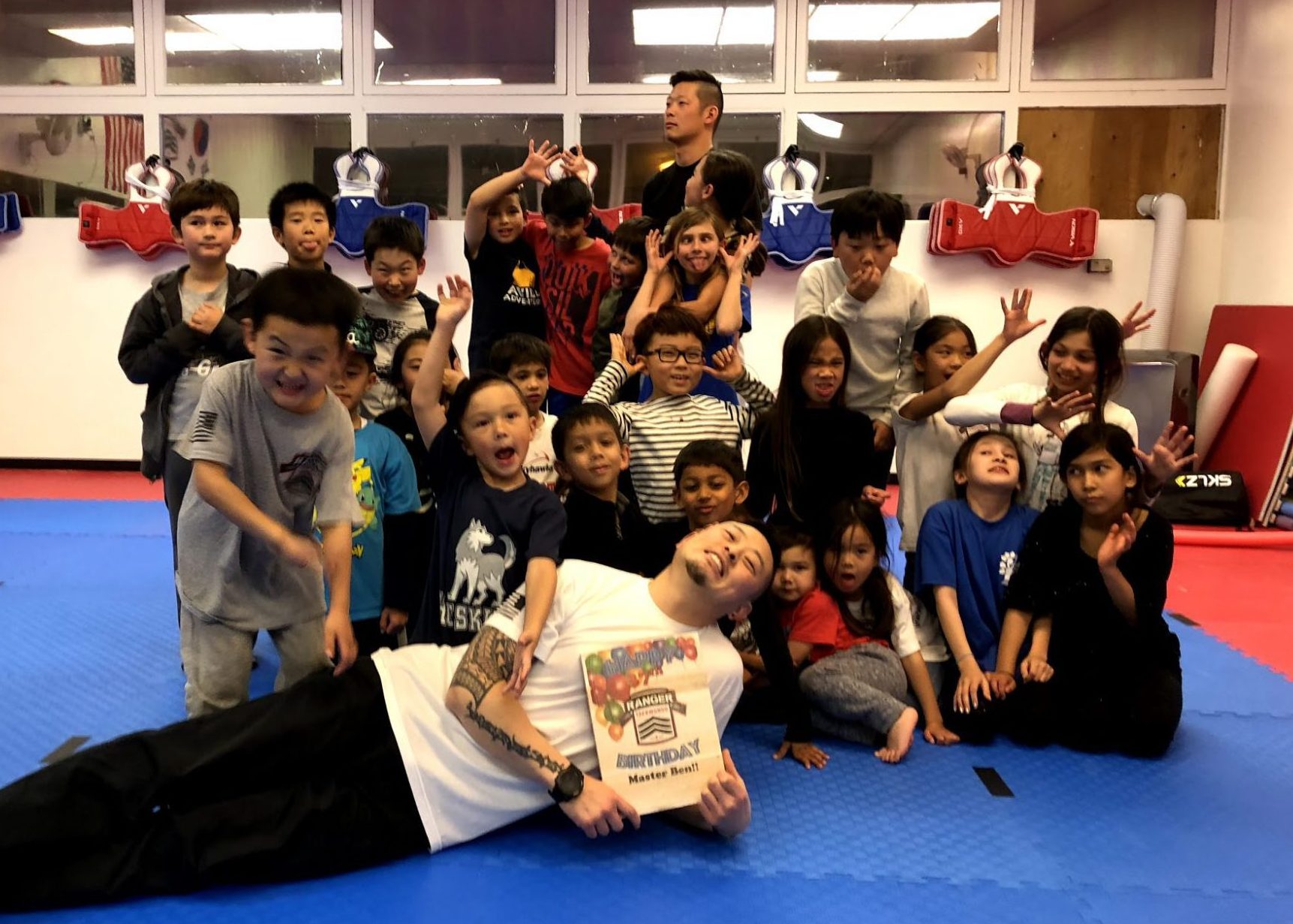
- Ranger Taekwondo · Photo: Ranger Taekwondo website · Photo 1 · Photo 2 · Photo 3 · Photo 4 · Photo 5 · Photo 6 · Photo 7
- dance-magic · Photo: Dance Magic website · Photo 1 · Photo 2 · Photo 3 · Photo 4 · Photo 5 · Photo 6 · Photo 7 · Photo 8
- Zohar Dance Company · Photo: Zohar Dance Company website · Photo 1 · Photo 2 · Photo 3 · Photo 4 · Photo 5 · Photo 6 · Photo 7 · Photo 8
- Groovitude Dance · Photo: Groovitude Dance website · Photo 1 · Photo 2
- Taijiquan Tutelage of Palo Alto · Photo: Taijiquan Tutelage of Palo Alto website · Photo 1
- one-heart-yoga · Photo: One Heart Yoga website · Photo 1 · Photo 2 · Photo 3 · Photo 4 · Photo 5 · Photo 6 · Photo 7
- Palo Alto Golf Lessons · Photo: Palo Alto Golf Lessons website · Photo 1 · Photo 2 · Photo 3 · Photo 4 · Photo 5 · Photo 6
- Gamelandia · Photo: Gamelandia website · Photo 1 · Photo 2 · Photo 3 · Photo 4 · Photo 5 · Photo 6 · Photo 7 · Photo 8
- Bell's Books · Photo: Bell's Books website · Photo 1 · Photo 2 · Photo 3 · Photo 4 · Photo 5 · Photo 6 · Photo 7
- Timothy Adams Chocolates · Photo: Timothy Adams Chocolates website · Photo 1 · Photo 2 · Photo 3 · Photo 4 · Photo 5 · Photo 6 · Photo 7 · Photo 8
- Tea Time · Photo: Tea Time website · Photo 1 · Photo 2 · Photo 3 · Photo 4 · Photo 5 · Photo 6
- Village Flower Shoppe · Photo: Village Flower Shoppe website · Photo 1 · Photo 2 · Photo 3 · Photo 4 · Photo 5 · Photo 6
- palo-alto-coffee-roasting-co · Photo: Palo Alto Coffee Roasting Co website · Photo 1 · Photo 2 · Photo 3 · Photo 4 · Photo 5 · Photo 6 · Photo 7 · Photo 8
- local-union-271 · Photo: Local Union 271 website · Photo 1 · Photo 2 · Photo 3 · Photo 4 · Photo 5 · Photo 6 · Photo 7
- pamela-walsh-gallery · Photo: Pamela Walsh Gallery website · Photo 1 · Photo 2 · Photo 3 · Photo 4 · Photo 5 · Photo 6
- cassis · Photo: Cassis website · Photo 1 · Photo 2 · Photo 3 · Photo 4
- tamarine-restaurant · Photo: Tamarine Restaurant website · Photo 1 · Photo 2 · Photo 3 · Photo 4 · Photo 5 · Photo 6 · Photo 7 · Photo 8
- lou-and-herberts · Photo: Lou & Herbert's website · Photo 1 · Photo 2 · Photo 3 · Photo 4 · Photo 5 · Photo 6 · Photo 7
- leaf-and-petal · Photo: Leaf & Petal website · Photo 1 · Photo 2 · Photo 3 · Photo 4
- la-boheme · Photo: La Boheme website · Photo 1 · Photo 2 · Photo 3 · Photo 4 · Photo 5 · Photo 6 · Photo 7
- fortnightly-music-club · Photo: Fortnightly Music Club website · Photo 1
- west-bay-opera · Photo: West Bay Opera website · Photo 1 · Photo 2 · Photo 3 · Photo 4 · Photo 5 · Photo 6
- indo-restaurant-and-lounge · Photo: INDO Restaurant & Lounge website · Photo 1 · Photo 2 · Photo 3 · Photo 4 · Photo 5
- howies · Photo: Howie's website · Photo 1 · Photo 2 · Photo 3 · Photo 4 · Photo 5 · Photo 6 · Photo 7 · Photo 8
- yucca-de-lac · Photo: Yucca de Lac website · Photo 1
- playa-grill-and-margarita-bar · Photo: Playa Grill & Margarita Bar website · Photo 1 · Photo 2 · Photo 3 · Photo 4 · Photo 5 · Photo 6 · Photo 7
- Watercourse Way · Photo: Watercourse Way website · Photo 1 · Photo 2 · Photo 3 · Photo 4 · Photo 5 · Photo 6 · Photo 7 · Photo 8
- walker-and-company-brands · Photo: Walker & Company Brands website · Photo 1 · Photo 2 · Photo 3 · Photo 4 · Photo 5 · Photo 6 · Photo 7 · Photo 8
- Coupa Cafe at Stanford Research Park · Photo: Coupa Cafe at Stanford Research Park website · Photo 1 · Photo 2 · Photo 3 · Photo 4
- Palo Alto Bicycles · Photo: Palo Alto Bicycles website · Photo 1 · Photo 2 · Photo 3 · Photo 4 · Photo 5 · Photo 6 · Photo 7
- stanford-floral-design · Photo: Stanford Floral Design website · Photo 1 · Photo 2 · Photo 3 · Photo 4 · Photo 5 · Photo 6 · Photo 7


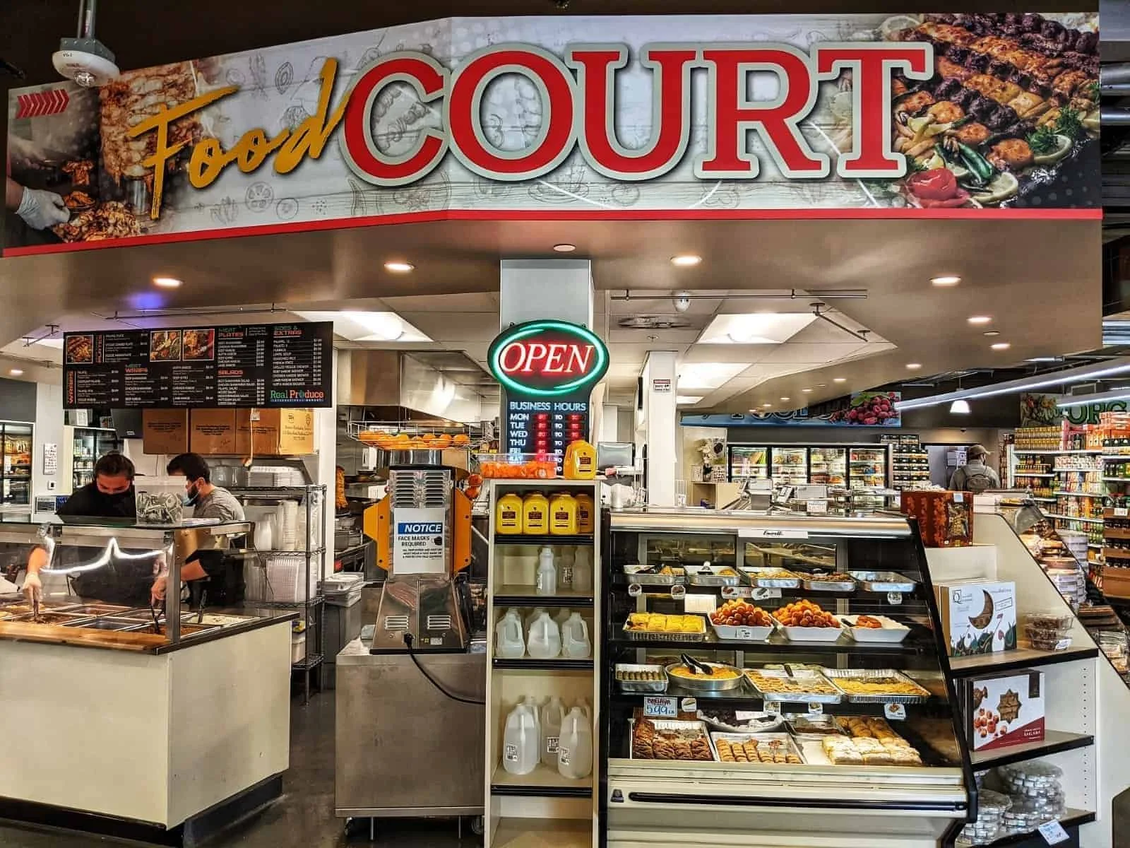
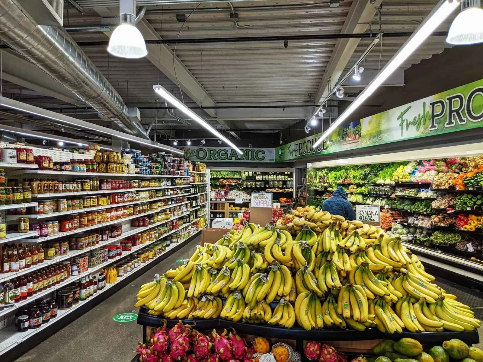














































































































Business information
Most listings below were checked against the business’s own website; the rest link to directory profiles such as Restaurantji and Loc8NearMe. Confirm current hours, availability and directions with the business.
- Real Produce International Market · Official business website
- Piazza's Fine Foods · Official business website
- Country Sun Natural Foods · Official business website
- THE MARKET at Edgewood · Official business website
- Mollie Stone's Markets · Loc8NearMe business listing
- Marigold Row · Loc8NearMe business listing
- Romi Boutique · Loc8NearMe business listing
- G V Palo Alto · Loc8NearMe business listing
- Shreve & Co. · Official business website
- Mansoor Fine Jewelers · Official business website
- De Novo Fine Contemporary Jewelry · Official business website
- CH Premier Jewelers · Loc8NearMe business listing
- Ernie's Liquor · Loc8NearMe business listing
- Ethel's Fancy · Official business website
- Protégé · Official business website
- Cafe Pro Bono · Official business website
- Iki Omakase · Official business website
- Evvia Estiatorio · Restaurantji business listing
- Meyhouse & Meyhouse Jazz Club · Restaurantji business listing
- Sundance The Steakhouse · Official business website
- Sekoya Lounge & Kitchen · Restaurantji business listing
- RARA · Official business website
- Namaste Indian Cuisine · Restaurantji business listing
- Tamarine Restaurant & Gallery · Restaurantji business listing
- iTalico · Official business website
- Terun Pizza · Restaurantji business listing
- Sprout Cafe · Official business website
- Palo Alto Sol · Official business website
- tane vegan izakaya · Restaurantji business listing
- Ettan · Official business website
- Kali Greek Kitchen · Official business website
- Hummus Mediterranean Kitchen · Restaurantji business listing
- Vino Locale · Restaurantji business listing
- Arya Steakhouse · Official business website
- Vina Enoteca · Official business website
- Taste · Official business website
- Zareen's · Restaurantji business listing
- Kanji Sushi & Ramen · Restaurantji business listing
- Darbar Indian Cuisine · Restaurantji business listing
- Zola + BarZola · Official business website
- City Hall Cafe · Restaurantji business listing
- Joanie's Cafe · Restaurantji business listing
- Hobee's Restaurant · Restaurantji business listing
- Bistro Maxine · Official business website
- Mamahuhu · Restaurantji business listing
- HE&C Tea + Pot · Official business website
- Hong Kong Restaurant · Restaurantji business listing
- Chef Zhao Kitchen · Restaurantji business listing
- Tai Pan · Restaurantji business listing
- Imperial treasure · Restaurantji business listing
- Green Elephant Gourmet · Restaurantji business listing
- Indochine · Official business website
- Bistro Elan · Official business website
- Caffe Riace · Restaurantji business listing
- Howie's Artisan Pizza · Restaurantji business listing
- Fiorella · Restaurantji business listing
- Osteria Toscana · Restaurantji business listing
- Pizzeria Delfina - Palo Alto · Official business website
- Araki Sushi · Official business website
- Kanpai · Official business website
- Sushi House · Official business website
- Daigo · Restaurantji business listing
- Jin Sho · Official business website
- Dohatsuten Ramen & Tapas · Restaurantji business listing
- Fuki Sushi · Official business website
- MJ Sushi Palo Alto · Official business website
- Go Fish Poke Bar- Stanford Shopping Center · Restaurantji business listing
- Taro San Japanese Noodle Bar · Business website
- Odori Japanese Cuisine · Official business website
- Mediterranean Wraps · Restaurantji business listing
- Café Soleil · Restaurantji business listing
- Real Mediterranean Kitchen · Restaurantji business listing
- Anatolian Kitchen · Official business website
- Orens Hummus Express · Restaurantji business listing
- Sun Of Wolf · Official business website
- Reposado · Official business website
- Sancho's Taqueria · Restaurantji business listing
- Celia’s Mexican Restaurant · Restaurantji business listing
- Marcella La Pupuseria · Restaurantji business listing
- San Agus Cocina Urbana & Cocktails · Restaurantji business listing
- Como Esta Taqueria · Official business website
- LuLu's Town & Country Village · Restaurantji business listing
- El Taco Ranchero · Google Maps listing
- Taqueria El Grullense M&G · Restaurantji business listing
- State of Mind Slice House · Official business website
- Palo Alto Art Center · Official business website
- New York Pizza Palo Alto · Restaurantji business listing
- Thaiphoon Restaurant · Official business website
- Lotus Thai Bistro · Official business website
- Roost & Roast · Restaurantji business listing
- Douce France · Official business website
- Ada's Cafe · Official business website
- Mademoiselle Colette · Official business website
- Palo Alto Creamery · Official business website
- Deja Vu Bakery & Catering · Restaurantji business listing
- Manresa Bread · Restaurantji business listing
- La Baguette · Business website
- Oklava Cafe · Official business website
- Coupa Cafe - Ramona · Restaurantji business listing
- Palo Alto Cafe · Official business website
- Fambrini’s Cafe · Restaurantji business listing
- Coupa Cafe - Lytton · Restaurantji business listing
- Rikyu · Official business website
- Cafe Venetia · Official business website
- Redwood Café by Chef Julien · Restaurantji business listing
- ZombieRunner Coffee · Restaurantji business listing
- Caffe Stellato · Official business website
- Rick's Ice Cream & Pints of Joy · Restaurantji business listing
- Peninsula Creamery - Dairy Store & Grill · Restaurantji business listing
- Driftwood Deli & Market · Official business website
- The Penny Ice Creamery | Town & Country Village · Restaurantji business listing
- Scoop · Official business website
- Rabbit Rabbit Cream · Official business website
- Coupa Cafe at Stanford Research Park · Official business website
- Gamelandia · Official business website
- Bell's Books · Official business website
- Timothy Adams Chocolates · Official business website
- Palo Alto Bicycles · Official business website
- Tea Time · Official business website
- Village Flower Shoppe · Official business website
- Color Theory Hair Salon PA · Official business website
- Forest Spa Boutique · Official business website
- Yoga Source · Official business website
- XANH Nail Spa · Official business website
- Lively X Studio · Official business website
- Watercourse Way · Official business website
- Barebones Training · Official business website
- Elisha Marie Skin & Body · Official business website
- Face Value - Skin Care Studio · Official business website
- Radhika Beauty Salon · Official business website
- Balance Center · Official business website
- Monika Stone Skin · Official business website
- Nmd Spa & Skin Studios · Official business website
- Shadowofadancer · Official business website
- Silicon Valley Fit · Official business website
- Jy Fitness · Official business website
- Ocean Acupuncture · Official business website
- The Well · Official business website
- Performancegaines · Official business website
- Palo Alto Fit · Official business website
- Victoria Ballet Palo Alto · Official business website
- Social Salon · Official business website
- Serenity Nails · Official business website
- JB Spa · Official business website
- Monsoon Dance Company · Official business website
- Taekwon Tigers Palo Alto · Official business website
- Immersion Spa · Official business website
- Flo Pilates · Official business website
- Winter Lodge · Official business website
- Kim Grant Tennis Academy · Official business website
- Yoga for Seniors and Adults 50+ | with Patricia Becker · Official business website
- Ramon Moreno School of Ballet · Official business website
- HeartFit For Life · Official business website
- Silicon Valley Karate · Official business website
- Ranger Taekwondo · Official business website
- Zohar Dance Company · Official business website
- Groovitude Dance · Official business website
- Taijiquan Tutelage of Palo Alto · Official business website
- Palo Alto Golf Lessons · Official business website
Google ratings and reviews
Ratings shown on business profiles are dated snapshots from the linked source, not live ratings. Visitor reviews submitted here are shown separately.
Automatic community data
AQI comes from AirNow’s reporting-area file, using the Redwood City reporting area (regional observation). This is a regional report, not a monitor on your street.
Palo Alto is inland. Regional outdoor conditions offer ideas for a day outdoors.
Road closures come from the Caltrans Lane Closure System, retrieved every 15 minutes and filtered to Palo Alto-area highway approaches. These reports are not live traffic speeds or arrival-time estimates. Caltrans conditions of use. No endorsement by these agencies is implied.